

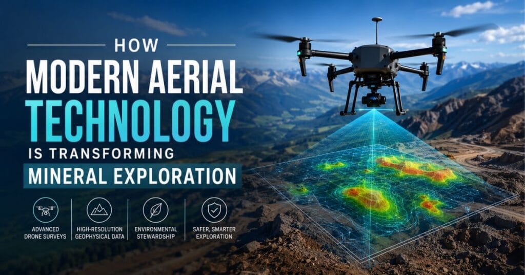
Modern Aerial Technology – The search for the natural resources that power modern civilization has never been more sophisticated. Across remote mountain ranges, dense boreal forests, and vast desert basins, exploration teams are now deploying technologies that would have seemed extraordinary just a decade ago.
At the heart of this transformation is a convergence of aerospace engineering, data science, and earth science that is making mineral exploration faster, safer, and more environmentally responsible than ever before. The result is an industry quietly reinventing itself in ways that benefit not only resource companies but also the communities and ecosystems surrounding exploration sites.
Table of Contents
The Shift Away from Traditional Ground-Based Methods
For most of the twentieth century, mineral exploration relied heavily on ground crews conducting geological surveys on foot, supported by large-scale helicopter or fixed-wing airborne geophysics. While effective, these approaches carried significant limitations. Ground crews faced safety risks in rugged or unstable terrain, and conventional aircraft surveys required expensive mobilization, fuel, and logistics.
Environmental disturbance was also a persistent concern, as repeated ground traverses could damage sensitive habitats before any resource was even confirmed. The industry recognized that a better approach was needed, one that could gather high-resolution subsurface data with a lighter physical and financial footprint.
Drones as a Game-Changer in Geophysical Data Collection
Unmanned aerial vehicles have emerged as one of the most compelling solutions to the challenges of traditional exploration. The practice of geophysical drone surveying allows exploration teams to deploy compact, sensor-equipped aircraft over complex terrain at a fraction of the cost of conventional methods.
These drones can carry magnetometers, electromagnetic sensors, and gravimeters that detect variations in subsurface geology, helping geoscientists identify potential mineral deposits without disturbing the surface at all. Because drones fly at lower altitudes than manned aircraft, they capture data at higher spatial resolution, which translates directly into more accurate geological models and better-informed drilling decisions.
The operational advantages extend beyond data quality. Drone surveys can be launched and recovered from small clearings, eliminating the need for large landing zones or expensive charter aircraft. Survey programs that once required weeks of helicopter time can now be completed in days. This compression of the exploration timeline has real economic value, allowing junior exploration companies to allocate capital more efficiently and advance projects to the drilling stage with greater confidence.
Environmental and Community Benefits
One of the most underappreciated dimensions of this technological shift is its positive environmental impact. Because drone surveys require minimal ground disturbance, they are particularly well-suited to ecologically sensitive areas where traditional exploration would face regulatory hurdles or community opposition. Wetlands, old-growth forests, and protected wildlife corridors can be assessed from the air without the soil compaction, vegetation clearing, or noise pollution associated with ground crews and heavy machinery.
This reduced environmental footprint is increasingly important as Indigenous communities and environmental regulators demand higher standards of care during exploration activities. Drone-based surveys generate a smaller physical impact, making early-stage exploration more compatible with environmental stewardship commitments. For companies operating under strict permitting regimes, the ability to conduct thorough geophysical assessment with minimal surface disturbance is not just a competitive advantage but a genuine expression of responsible resource development.
Data Quality and the Rise of Integrated Geoscience
Beyond the logistical and environmental benefits, drone surveys are producing data of exceptional quality that is reshaping how geoscientists interpret the subsurface. Modern drone platforms can integrate multiple sensor types simultaneously, collecting magnetic, radiometric, and electromagnetic data in a single pass. When this information is processed through advanced inversion modeling software, it generates three-dimensional representations of geological structures that were previously impossible to achieve without extensive and expensive drilling programs.
The integration of drone-collected geophysical data with satellite imagery, historical drill results, and machine learning algorithms is creating what some researchers describe as a new paradigm in predictive geology. As the U.S. Geological Survey has long emphasized, the quality of subsurface characterization directly determines the efficiency of resource development and the accuracy of environmental impact assessments. Drone technology is now delivering that quality at a scale and cost that makes it accessible to exploration programs of all sizes, from large multinational mining companies to small prospecting ventures.
Safety Improvements Across the Exploration Workforce
The human safety dimension of this technological transition deserves recognition as well. Geophysical surveys have historically placed workers in hazardous conditions, including steep alpine terrain, active volcanic zones, and remote wilderness areas where emergency response is slow. By replacing or supplementing ground-based work with drone operations, companies are meaningfully reducing the exposure of their personnel to these risks.
Drone operators can conduct surveys from safe, stable positions while the aircraft navigates terrain that would be dangerous or impossible for humans to traverse. In regions prone to avalanches, unstable scree slopes, or dense bush, this distinction can be the difference between a routine survey and a serious incident. As safety culture continues to strengthen across the mining and exploration sector, the ability to remove workers from hazardous environments without sacrificing data quality is being recognized as a core operational benefit rather than a secondary consideration.
Looking Ahead: The Continued Evolution of Aerial Exploration
The trajectory of drone technology in mineral exploration points toward even greater capability in the years ahead. Battery energy density continues to improve, extending flight endurance and the size of survey areas that can be covered in a single deployment. Sensor miniaturization is allowing more sophisticated instruments to be carried by smaller, more affordable platforms. Autonomous flight planning software is reducing the skill barrier for survey operations, making it possible for exploration teams in remote regions to conduct professional-grade geophysical surveys without specialized aviation expertise on site.
Regulatory frameworks are also maturing in many jurisdictions, providing clearer pathways for beyond-visual-line-of-sight operations that will unlock even more remote and challenging survey environments. As these enabling conditions continue to develop, drone-based geophysics is poised to become the default approach for early-stage mineral exploration rather than an innovative alternative.
The transformation of mineral exploration through aerial drone technology represents one of the more encouraging stories in the resource sector today. It demonstrates that the pursuit of the materials civilization depends on does not have to come at the cost of safety, environmental integrity, or community trust. By embracing these tools thoughtfully and rigorously, the exploration industry is building a foundation for resource development that is more efficient, more responsible, and more sustainable than what came before.

Lokesh Sharma is a digital marketer and SEO expert at TechJustify with a keen interest in emerging technology trends including AI, cybersecurity, and digital marketing tools for more than 5 years. He writes clear, actionable articles for tech enthusiasts and business leaders, simplifying complex topics like VPNs, automation, and generative AI.